Industries
Built for the industries that build the region.
Industries
Built for every precision workflow
From a surveyor in the field to a fleet of autonomous machines, the same correction stream serves the whole industry.
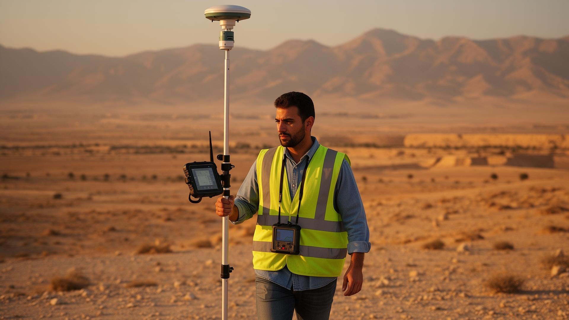
Surveying
Topographic, cadastral and boundary surveys with cm-level fixes.

Construction
Site layout, stakeout and as-built positioning.

Agriculture
Precision farming, auto-steering and field mapping.

Drones
RTK / PPK workflows for accurate orthomosaics.
GIS
High-accuracy asset and feature data capture.
Machine Control
Excavators, graders and automated equipment.
Smart Infrastructure
Utilities, transport and city-scale projects.
Mapping
Mobile mapping and reference data collection.
Join Syria's next-generation positioning network
Whether you're a surveyor, contractor, drone operator or enterprise integrator — get connected to the national CORS network today.