
GNSS · RTK · NTRIP · CORS
Centimeter-Level
GNSS Positioning
A nationwide RTK correction network delivered over NTRIP — built on a continuously operating CORS reference infrastructure for surveying, construction, mapping, drones and machine control.
- RTK Accuracy
- 2–5 cm
- GPS · GLO · GAL · BDS
- Multi-GNSS
- Standard Caster
- NTRIP
- Network Monitoring
- 24/7
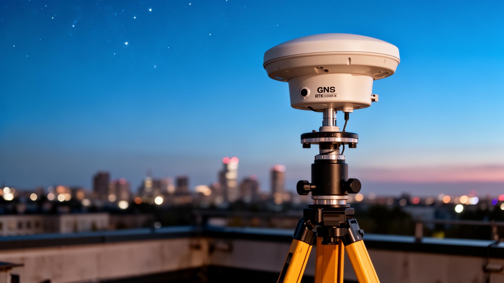
CORS Reference Network
A nationwide GNSS positioning backbone
About Mada
A GNSS positioning company
delivering RTK over NTRIP.
Mada Technology Solutions designs, deploys and operates GNSS infrastructure — CORS reference stations, network RTK processing and a standards-compliant NTRIP caster — to deliver centimeter-accurate positioning as a service.
Multi-GNSS, multi-frequency
GPS, GLONASS, Galileo and BeiDou on L1/L2/L5 across the reference network.
Network RTK processing
VRS and MAC solutions for robust fixes over large coverage areas.
NTRIP 2.0 caster
Authenticated mountpoints streaming RTCM 3.x to any compliant rover or receiver.
GNSS Services
Everything you need for precise positioning
A complete RTK / NTRIP service stack — from CORS reference stations and network corrections to post-processing, monitoring and developer access.
Network RTK (VRS / MAC)
Centimeter-grade real-time corrections from a nationwide CORS reference network.
NTRIP Caster
Standards-compliant NTRIP 2.0 caster with multi-mountpoint streams and authentication.
CORS Reference Stations
Continuously operating multi-constellation, multi-frequency GNSS reference infrastructure.
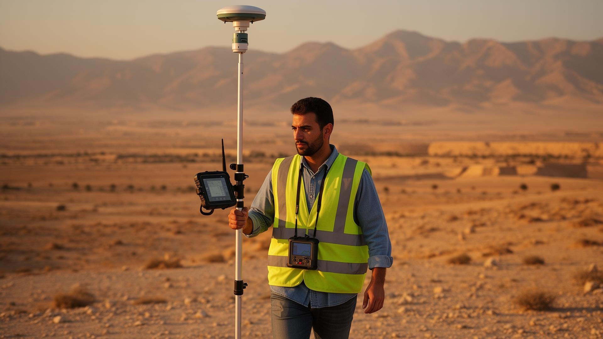
Single-Base RTK
Dedicated base mountpoints (RTCM 3.x) for users close to a single reference station.
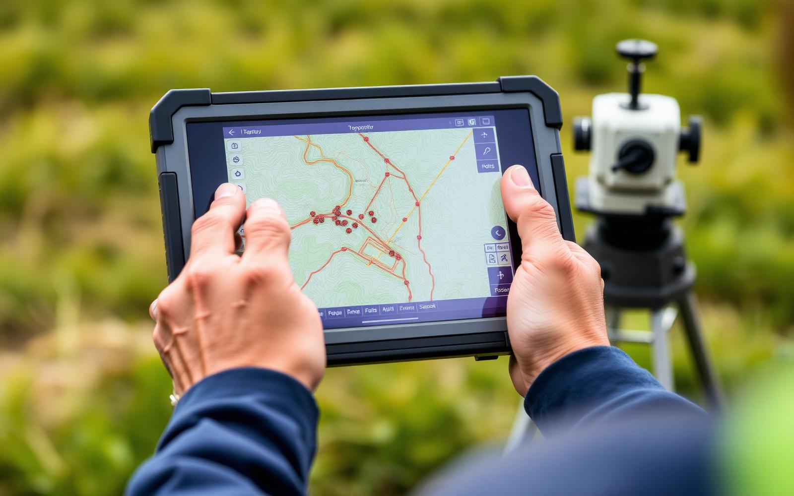
Post-Processing & PPK
RINEX downloads, static observations and PPK workflows for high-precision deliverables.
Machine Control Corrections
Low-latency RTK streams for construction, machine guidance and automation fleets.
Surveying & Mapping
Field-to-finish RTK for surveyors, GIS field crews and topographic mapping.
Network Monitoring
24/7 station health, latency and integrity monitoring with status reporting.
Developer API
Programmatic NTRIP credentials, usage metrics and integration endpoints.
Flagship Network · MADA RTK
MADA RTK — a nationwide
positioning network
by Mada Technology Solutions.
A continuously operating reference station network delivering centimeter-grade GNSS corrections to surveyors, contractors, drone operators and machine-control fleets — engineered and operated by Mada.
99.9%
Service Availability
2–5 cm
Horizontal Accuracy
24/7
Network Monitoring
Multi-GNSS
GPS · GLO · GAL · BDS
Why Mada Technology Solutions
Infrastructure-grade positioning, made in country
Local infrastructure
Reference stations operated inside Syria — not relayed from abroad.
Low latency
Sub-second corrections optimized for in-country networks.
Regional support
Engineering support in Arabic and English.
Engineering-grade reliability
Redundant casters and continuous integrity monitoring.
Vendor neutral
Works with Trimble, Leica, Topcon, CHCNAV, Emlid and more.
Built to scale
Designed for a full national network of stations and users.
2–5 cm
Horizontal accuracy
Fixed RTK solution under normal conditions
GPS · GLONASS · Galileo · BeiDou
Multi-constellation
Multi-band corrections for robust fixes
24/7
Network monitoring
Continuous station health & latency tracking
NTRIP
Standard compatible
Works with any standards-compliant rover
Industries
Built for every precision workflow
From a surveyor in the field to a fleet of autonomous machines, the same correction stream serves the whole industry.
Surveying
Topographic, cadastral and boundary surveys with cm-level fixes.

Construction
Site layout, stakeout and as-built positioning.

Agriculture
Precision farming, auto-steering and field mapping.

Drones
RTK / PPK workflows for accurate orthomosaics.
GIS
High-accuracy asset and feature data capture.
Machine Control
Excavators, graders and automated equipment.
Smart Infrastructure
Utilities, transport and city-scale projects.
Mapping
Mobile mapping and reference data collection.
Technology
From satellite to centimeter
RTK, CORS and NTRIP working together to deliver real-time, multi-band corrections to your receiver.
Latency
~1s
Correction stream from base to rover, on Syrian mobile networks.
Space segment
GNSS satellites
Multi-constellation signals from GPS, GLONASS, Galileo and BeiDou.
Reference network
CORS base stations
Permanent reference stations measure local atmospheric error.
Correction service
NTRIP caster
Real-time corrections are computed and streamed over IP.
Centimeter fix
Your rover
Any NTRIP-compatible receiver applies corrections in the field.
Join Syria's next-generation positioning network
Whether you're a surveyor, contractor, drone operator or enterprise integrator — get connected to the national CORS network today.